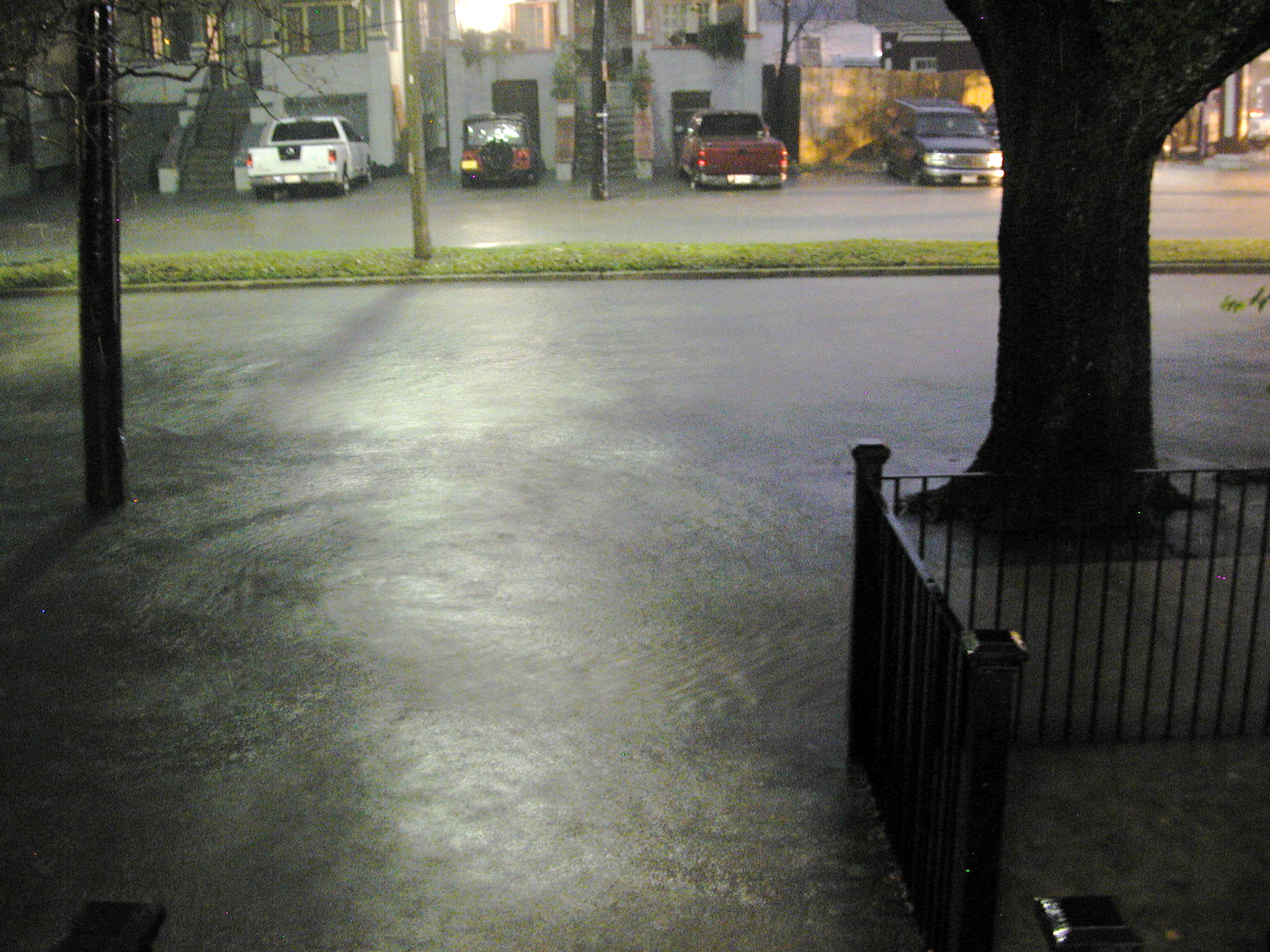
Residents of Rye, Harrison, and Rye Brook face another round of potential flooding as a Flood Watch takes effect at 8 a.m. Tuesday, July 28, and runs through at least 8 a.m. Wednesday, July 29.
The Westchester County Office of Emergency Services announced the watch on Monday, July 27, warning that county departments are on standby and actively monitoring conditions. The county's guidance is direct: do not drive through flooded roads or barricades, and stay out of floodwaters entirely.
The warning carries extra weight here.
The area has absorbed repeated storm hits over the past 10 days, including an EF-0 tornado in Rye Brook and multiple beach closures triggered by bacterial contamination.
What forecasters are saying
AccuWeather Senior Meteorologist Matt Rinde called the approaching system "an unusually powerful storm for this time of year," telling the New York Post on Monday, July 27, that developing low pressure in the Northeast in late July is rare. "Usually, you don't get a developing low pressure in the Northeast in the late part of July," Rinde said. "It's something that you'd see more toward the fall months."
Regional forecasts project 2 to 4 inches of rain across the metro area, with localized totals potentially higher where bands of rain stall. The heaviest storms could produce rainfall rates exceeding an inch per hour, according to CNN meteorologist Chris Dolce. A Level 2 out of 4 flash flood threat covers parts of the Lower Hudson Valley, according to the FOX Forecast Center.
The National Weather Service may extend the watch window beyond Wednesday morning. Residents should check @westchestergov on X or the NWS website for the latest timing.
Recent storm damage still fresh
On Tuesday, July 21, an EF-0 tornado with 85 mph peak winds tore a 1.82-mile path from Purchase into Rye Brook's Country Ridge neighborhood. Rye Brook village administrator Christopher Bradbury told ABC7 on July 22 that most of the damage was tree damage and downed power lines, with about 20 power outages and no injuries.
Three days before that tornado, 1.8 inches of rain fell on Saturday, July 18, triggering bacterial contamination concerns at Coveleigh Club Beach in Rye. The Westchester County Department of Health closed the beach on July 19 and July 20 due to elevated bacteria from road runoff into stormwater drainage outfalls. The beach was closed again on Wednesday, July 22, after an additional 0.73 inches fell during the tornado event.
The Mamaroneck Wastewater Treatment Plant, which handles sewage from Rye homes, discharged 536,240 gallons of partially treated wastewater into Long Island Sound on July 21 due to wet weather. County health officials have warned that bacteria spikes from such discharges can trigger further beach closures.
What residents should know
The county warns that floodwaters conceal live wires, sewage, harmful bacteria, sharp debris, and displaced animals. Most flood fatalities occur in vehicles. Barricades on flooded roads are there for a reason.
Based on the county's rainfall-based closure thresholds, beaches would likely close again if the storm delivers projected totals. More than half an inch of rain triggers a one-day closure, more than an inch triggers two days, and more than two inches results in a closure length to be determined. The county advises calling beaches directly to confirm status after any rainfall.
Additional flood safety information is available here.
What's next
The Westchester County Office of Emergency Services said county departments remain on standby. Residents can follow @westchestergov on X for real-time updates on the watch window and any road closures.